Detection Rate
53.46%
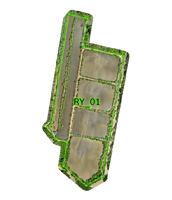
Total Area
26.73 rai
Detected Trees
10,146
Expected
18,979
Plot 01 Overview
Plot RY_01 covers 26.73 rai across 5 sub plots. Out of 18,979 expected trees, 10,146 were detected (53.46% detection rate). Growth varies significantly. Some areas show promising normal to high growth, while others lag due to different site conditions. Overall success is moderate. Slower growing sub plots require targeted monitoring and management.
Interactive Grid Detection Map
Grid Detection Analysis
This interactive map displays tree detections using advanced AI technology that analyzes multispectral satellite imagery to identify individual mangrove canopies. The surveyed area is divided into a grid system for precise monitoring of tree density and spatial distribution patterns.
Loading map...
Subplot Analysis
Tree Detection Summary
Technical Note
Detection is performed using multispectral drone imagery at 40m altitude. AI algorithms identify individual canopies within the range of 0.09 - 0.36 sqm.