Methodology
Our approach combines state-of-the-art remote sensing with advanced artificial intelligence to provide precise, scalable monitoring for mangrove reforestation projects.
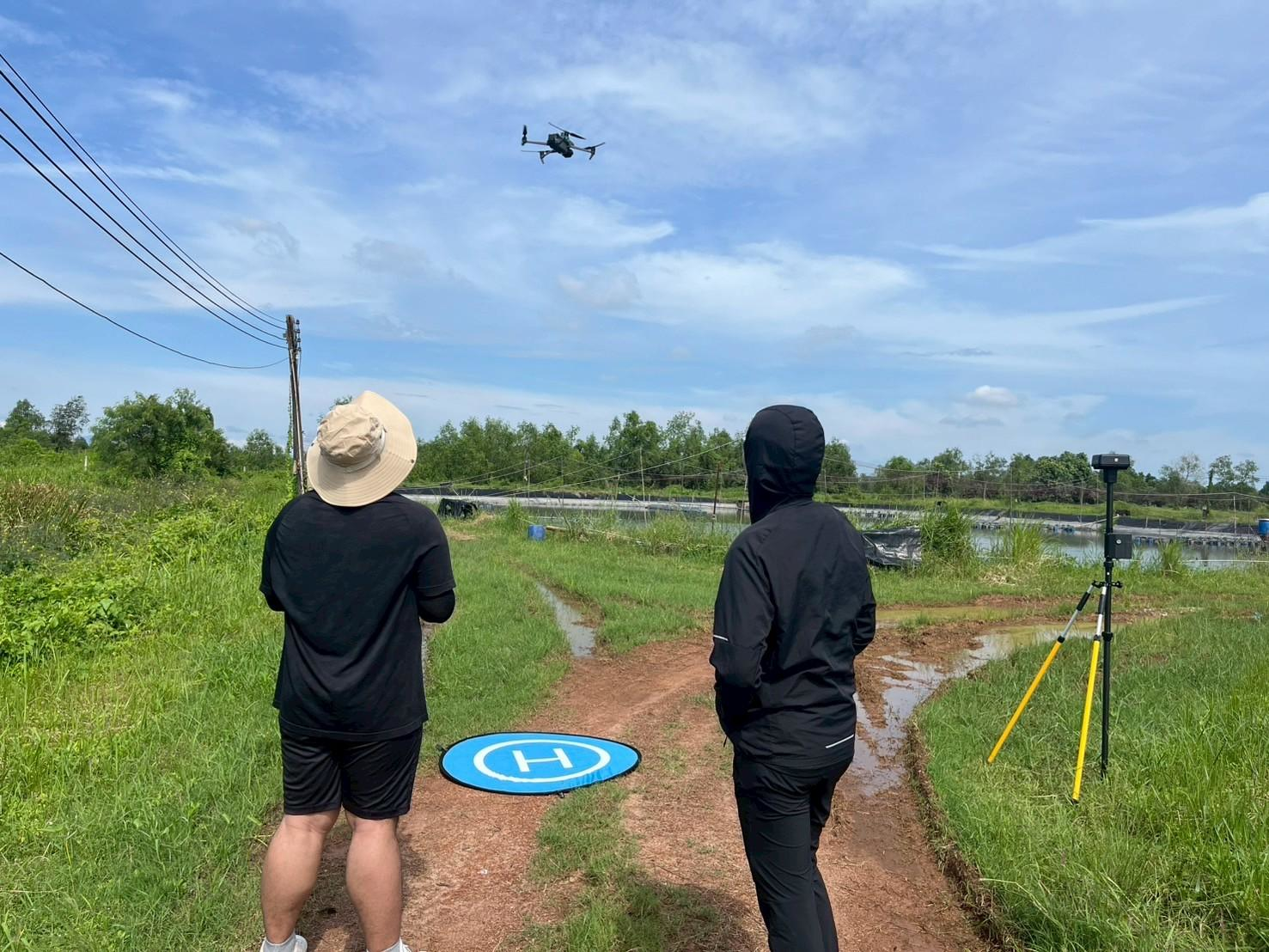
Data Collection
High-resolution aerial survey using DJI Mavic 3M at an altitude of 40 m with 80% overlap.
Preprocessing
Raw multispectral images are processed into high-density ortho-mosaics and Digital Surface Models (DSM).
AI Detection
Deep learning algorithms identify individual tree canopies based on spectral signatures and morphological features.
Growth Analysis
Trees are classified into growth levels (Low, Normal, High) based on canopy area and vegetation indices.
Technical Specifications
Resolution
1-2 cm
Canopy Range
0.09-0.36 sqm
Spacing
1.5 m
Density
710 trees/rai
Quality Assurance
- Ground control points for spatial accuracy
- Spectral calibration for consistent growth indexing
- Manual validation of AI detection samples
- Multi-temporal analysis for growth trends